
Roll Through the Snow: Fat-tire Biking Adventures
January 22, 2022
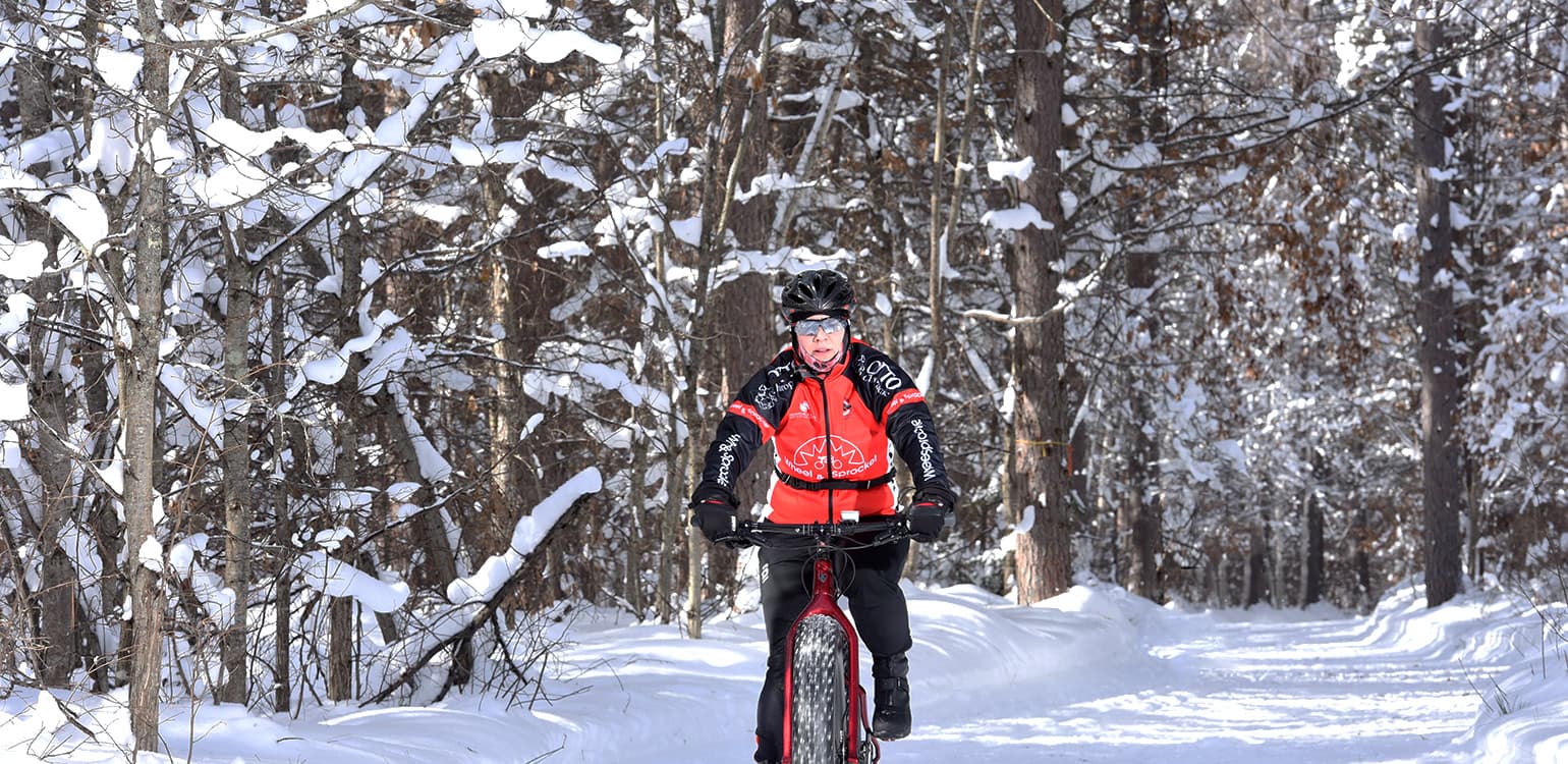
Who says bike riding is just for non-snowy months? In Boulder Junction, fatbikers will find fresh, powdery routes through some of the best scenery in the Northwoods. Here are two trails you shouldn’t miss.
Before your start, be sure to check our up-to-date snow report for the latest conditions. Don’t have a fatbike of your own? You can rent one at Coontail in downtown Boulder Junction.
Lumberjack Trail
Located in the sprawling Northern Highland-American Legion State Forest, the Lumberjack Trail System is an impressive trail that winds through the woods surrounding the Manitowish River, the Fishtrap Flowage and White Sand Lake. A scenic spot in summer and winter, the multi-use Lumberjack Trail System offers about 8 miles of packed fatbiking, cross country ski and snowshoeing trails that are accessible from the trailhead on Concora Road. Note that as the trail is on state forest land, a state trail pass is required for bikers. Find a map and trail information here.
Getting there: Head east out of downtown Boulder Junction on Old Highway K for about a mile and a half, then turn on to Concora Road.
WinMan Trails
In the summer, these trails between Winchester and Manitowish Waters (Win + Man, get it?) are a popular destination for mountain bikers, with more than 18 miles of trails that appeal to everyone from novices to advanced riders. During the winter, the trails are open to snowshoers, cross-country skiers and fatbikers. While not all 18 miles of mountain bike trails are open to fatbiking in the winter, fatbikers can still enjoy about 7 miles of groomed trails that cover some of WinMan’s most popular terrain. Winter sports enthusiasts can relax and warm up at the trail system’s new chalet, which has bathrooms, changing room, a wood-fired furnace and tools for bikers and skiers. Find more trail information here.
Getting there: From downtown Boulder Junction, head west on County Highway K for about 12 miles before turning right (north) on County Highway W. The trailhead is located at the intersection of County Highway W and County Highway J.